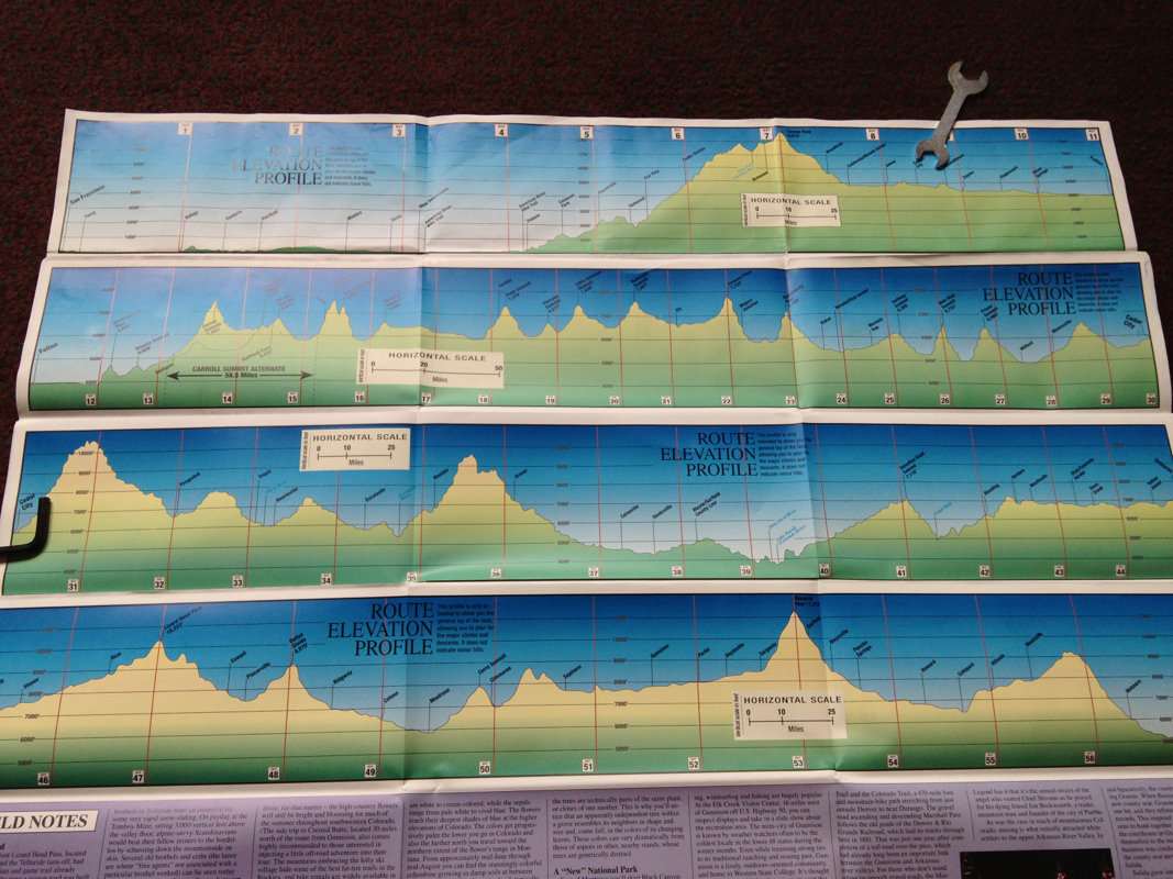
These are the elevation maps lined up together showing the whole 1500 mile journey along the Western Express through the Sierras and the Rockies!
My current location is marked with a spanner ;)
I have completed what looks like the biggest and longest climb but it took 2 days.
The dozens and dozens of other climbs do seem steeper but smaller.
I will have finished the top row by the end of tomorrow but still have so much to do.
The scariest part is that there can be 100 miles between places to sleep from the 2nd row down. It certainly looks daunting laid out like this.
 RSS Feed
